
Back to Learning Center

Learning Center / Model Parameters / Surface & Precipitation

Surface Visibility

How far you can see near the ground.

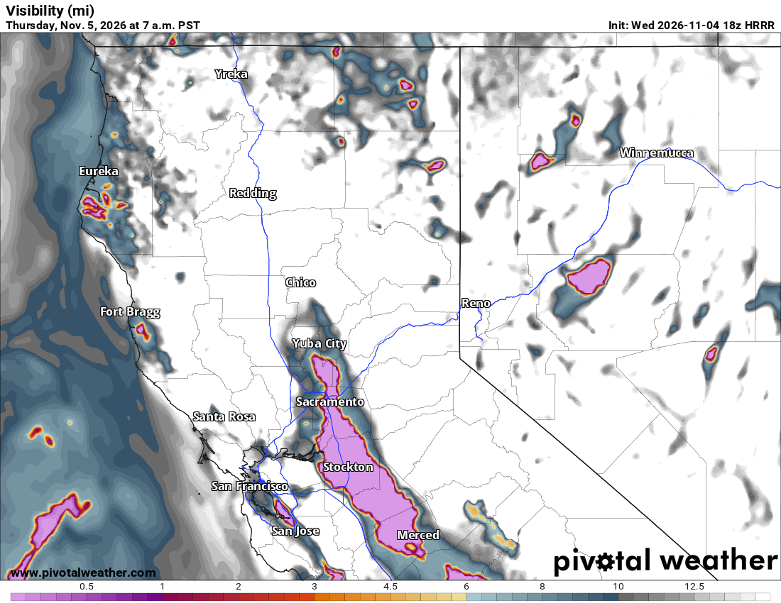
HRRR visibility map showing pockets of very low visibility in the Sacramento and San Joaquin valleys and along the northern California coast
Visibility (mi) across northern California and Nevada, from the HRRR model. Init: Wed 2026-11-04 18z, valid Thu 2026-11-05 7 a.m. PST.

What the map shows

Fog, heavy snow, blowing dust or smoke that could affect travel.

How to read the colors

Low visibility is highlighted in bold colors; clear areas are blank.

Common mistakes

  • Trusting fog timing and placement exactly — models struggle with it.

Key terms

Open in Pivotal Weather