
Back to Learning Center

Learning Center / Model Parameters / Surface & Precipitation

Total Cloud Cover

How much of the sky is clouded over when every layer is added together.

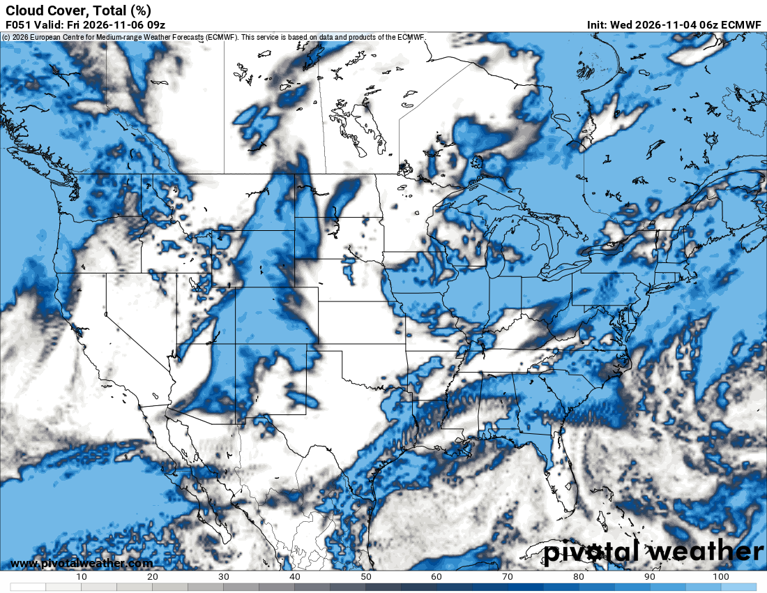
ECMWF total cloud cover map of North America with gray shading over the northern Plains and Great Lakes and blue shading over the Southeast, Gulf and Atlantic
Total cloud cover (%) across North America, from the ECMWF model. Init: Wed 2026-11-04 06z, valid Fri 2026-11-06 09z.

What the map shows

How overcast it will be at the forecast time, from clear to completely covered.

How to read the colors

Areas under 10% stay unshaded. Grays deepen from about 10% to 50%, then blues take over from about 50% up to 100%, brightening to pale blue where the sky is fully covered.

Common mistakes

  • Reading a high total as rain — a fully overcast sky can stay dry.
  • Confusing it with the by-levels version, which shows where each cloud deck sits.

Key terms

Open in Pivotal Weather