
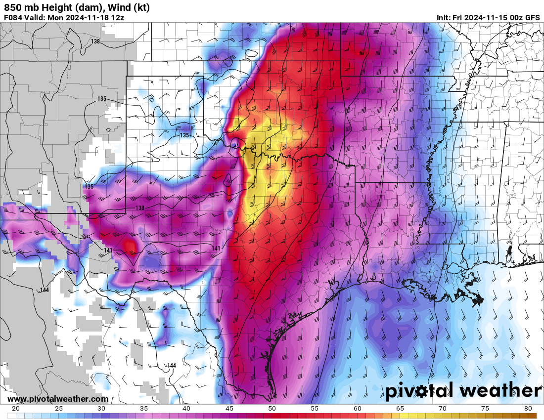
What the map shows
The big-picture steering pattern for weather systems. 500 mb is the classic level; 200–300 mb show the jet stream; 850–925 mb show low-level flow.
How to read the colors
Contours of height; shading shows wind speed.
Common mistakes
- Over-focusing on surface maps without checking the pattern aloft.