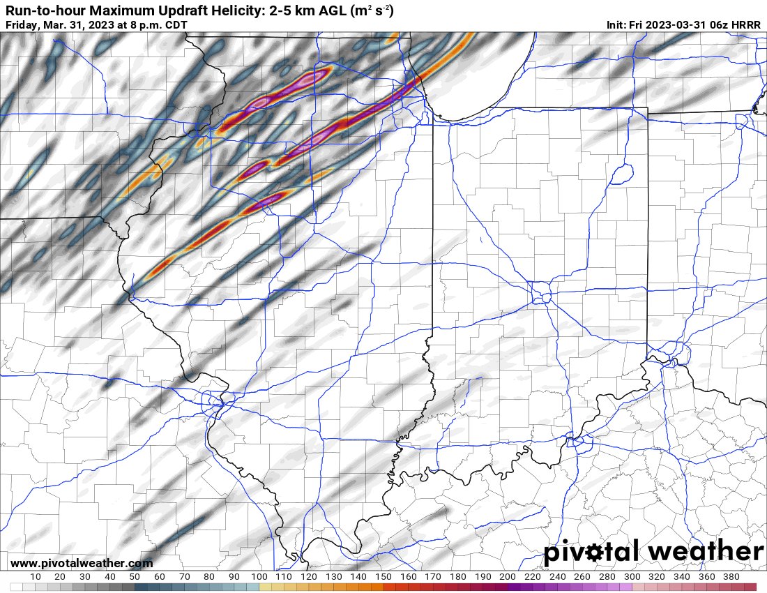
What the map shows
Tracks of model storms that rotate — a supercell signal.
How to read the colors
Swaths or streaks; brighter colors show stronger rotation.
Common mistakes
- Treating tracks as exact paths instead of areas of concern.

Learning Center / Model Parameters / More Tools
Rotating storm updrafts simulated by high-resolution models.
Tracks of model storms that rotate — a supercell signal.
Swaths or streaks; brighter colors show stronger rotation.